The question
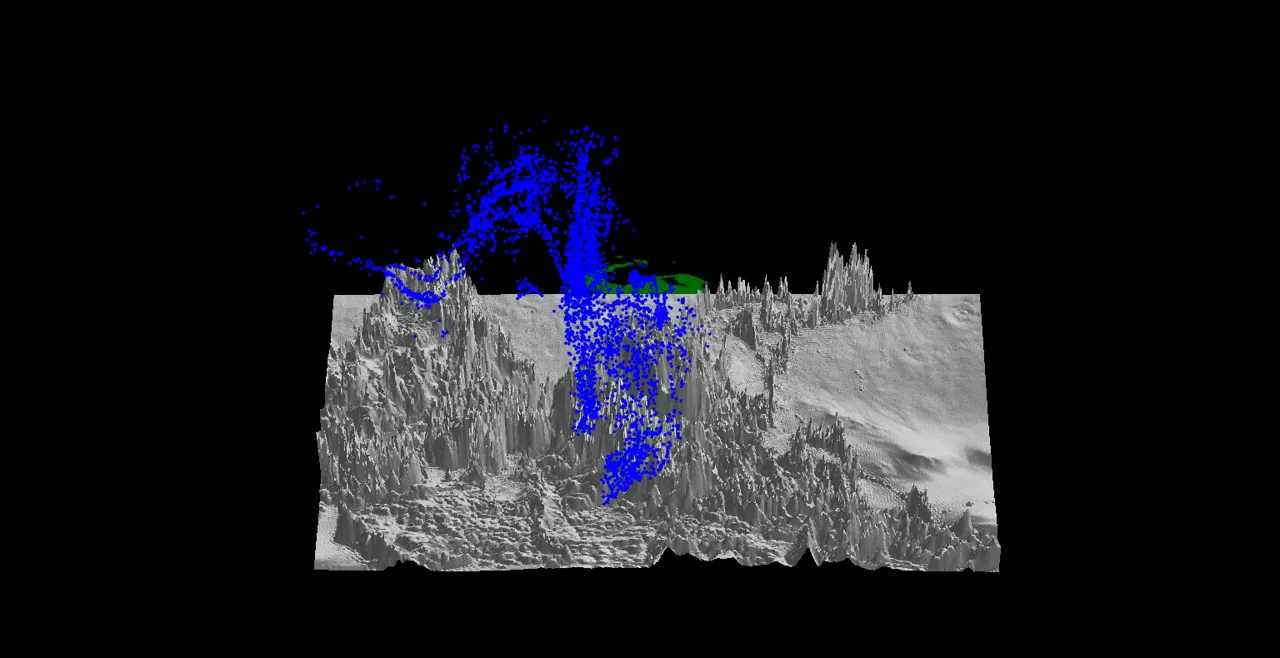
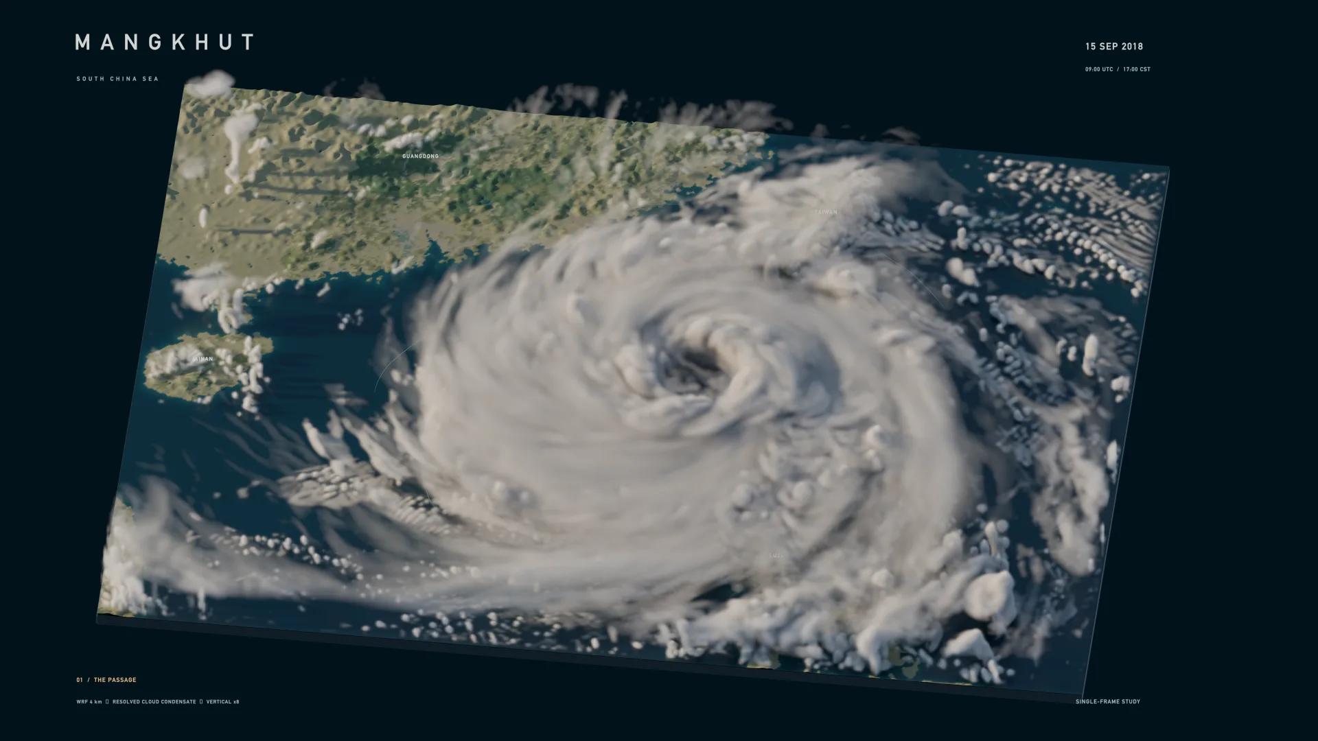
How does mountain terrain shape our understanding of weather fields? Placing model data on a three-dimensional landscape makes spatial structures and local differences easier to explore.
Explore temperature and rainfall across real terrain.
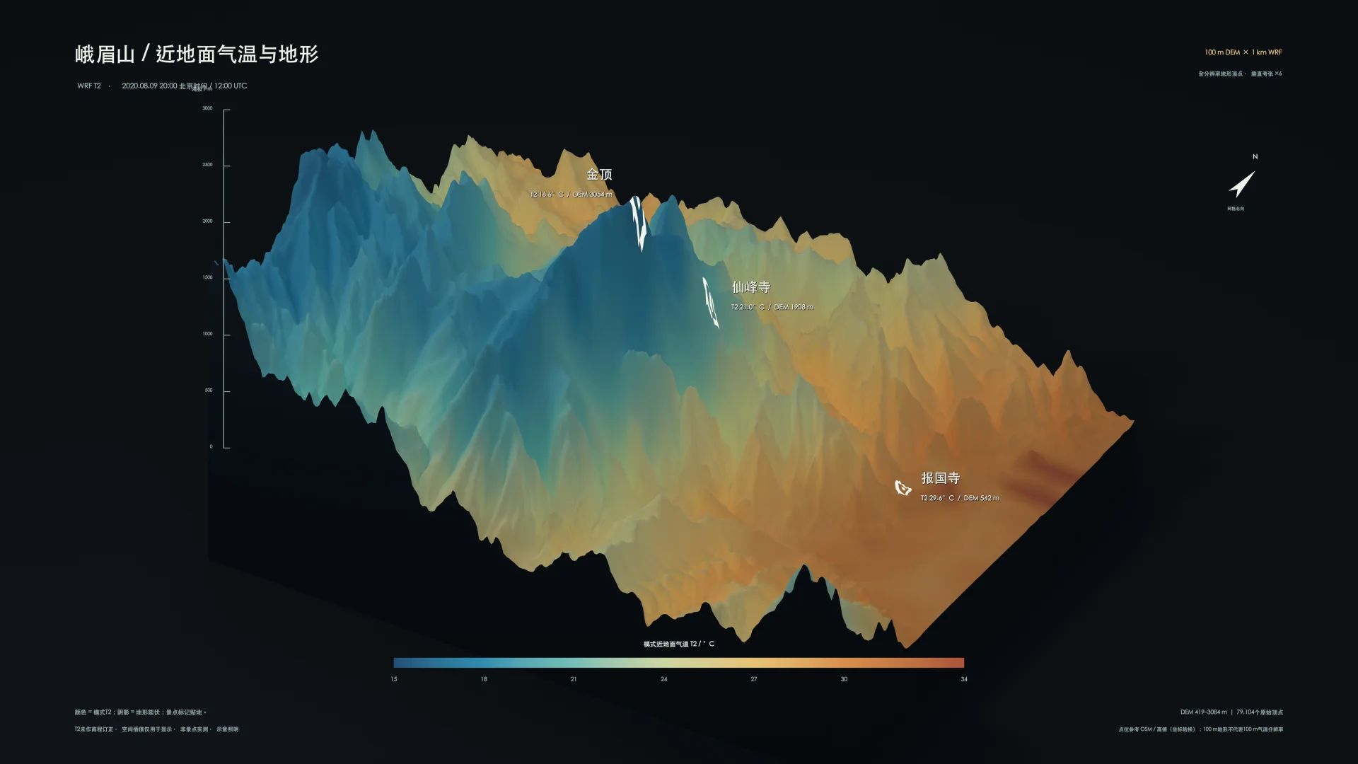
The original Chinese-language demo preserves temperature, accumulated rainfall, terrain inspection and camera controls. Open it in a new window for more room.
How does mountain terrain shape our understanding of weather fields? Placing model data on a three-dimensional landscape makes spatial structures and local differences easier to explore.
A 100 m DEM is aligned with 1 km WRF fields. Temperature and 12-hour accumulated rainfall are interpolated onto terrain vertices for display, then explored in a rotatable WebGL scene.
Switch between temperature and rainfall, orbit the mountain and select a location to inspect its values. Computation and interactive communication meet in one scene.